
Skeda:Latitude (PSF).png
Madhësia e këtij shikimi: 578 × 600 pixel. Rezolucione të tjera: 231 × 240 pixel | 462 × 480 pixel | 740 × 768 pixel | 1.104 × 1.146 pixel.
Dokument origjinal (1.104 × 1.146 pixela, madhësia e skedës: 404 KB, tipi MIME: image/png)
| Përshkrimi |
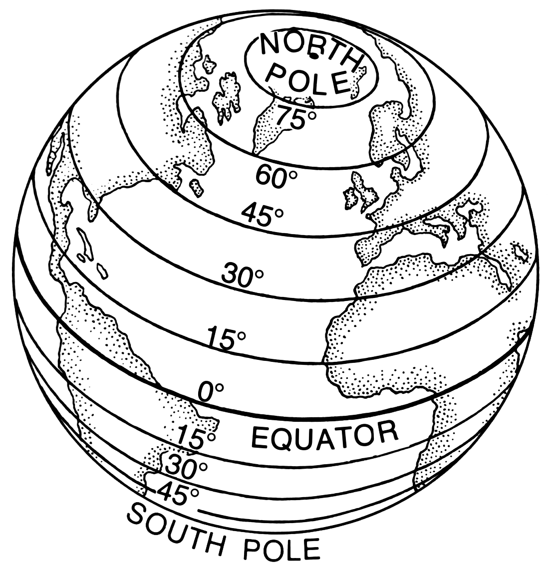
English: Line art drawing of Earth with latitdue parallels latitudes.
Suomi: Piirustus Maapallosta, johon on merkitty pituuspiirit. |
|||
| Burimi | Archives of Pearson Scott Foresman, donated to the Wikimedia Foundation | |||
| Autori | Pearson Scott Foresman | |||
| Leja (Ripërdor këtë skedë) |
|
|||
| Versione tjera |
|


.png)
nbgsdfl
Historiku i dosjes
Shtypni një datë/kohë për ta parë skedën ashtu si dukej në atë kohë.
| Data/Ora | Miniaturë | Përmasa | Përdoruesi | Koment | |
|---|---|---|---|---|---|
| e tanishme | 6 mars 2021 12:25 | | 1.104 × 1.146 (404 KB) | Encik Tekateki | compress smaller |
| 6 mars 2021 12:15 |  | 2.208 × 2.292 (1,25 MB) | Encik Tekateki | Transparent layout | |
| 6 dhjetor 2007 18:44 |  | 2.618 × 2.712 (537 KB) | Igno2 | {{ScottForesman |description= {{en|Line art drawing of Earth with latitudes.}} {{fi|Piirustus Maapallosta, johon on merkitty pituuspiirit. |raw=PSF_L-520004.png |other versions= }} Category:Line art [[Category |
Përdorimi i skedës
faqe lidhet tek kjo skedë:
Përdorimi global i skedës
Kjo skedë përdoret nga Wiki të tjera në vijim:
- Përdorimi në af.wikipedia.org
- Përdorimi në ar.wikipedia.org
- Përdorimi në bo.wikipedia.org
- Përdorimi në cv.wikipedia.org
- Përdorimi në de.wikipedia.org
- Përdorimi në de.wiktionary.org
- Përdorimi në dsb.wikipedia.org
- Përdorimi në eo.wikipedia.org
- Përdorimi në es.wikipedia.org
- Përdorimi në es.wikibooks.org
- Përdorimi në et.wikipedia.org
- Përdorimi në fa.wikipedia.org
- Përdorimi në gl.wikipedia.org
- Përdorimi në gl.wiktionary.org
- Përdorimi në hsb.wikipedia.org
- Përdorimi në hy.wikipedia.org
- Përdorimi në id.wikipedia.org
- Përdorimi në it.wikipedia.org
- Përdorimi në it.wikibooks.org
- Përdorimi në it.wikiversity.org
- Përdorimi në lb.wikipedia.org
- Përdorimi në li.wiktionary.org
- Përdorimi në lmo.wiktionary.org
- Përdorimi në mn.wikipedia.org
- Përdorimi në nn.wikipedia.org
- Përdorimi në pnb.wikipedia.org
- Përdorimi në pnb.wiktionary.org
- Përdorimi në sd.wiktionary.org
- Përdorimi në sl.wikipedia.org
- Përdorimi në sr.wikipedia.org
- Përdorimi në sw.wiktionary.org
- Përdorimi në szl.wikipedia.org
- Përdorimi në yi.wikipedia.org
.png)